High-Resolution Drone Photography for Your Project
Here at Aerial Dynamics, we offer professional aerial photography for a wide array of Commercial, Industrial & Residential purposes. We use professional-grade drones and cameras to capture high-resolution aerial images, creating 3D models and maps for your project.
Our drone inspection services allow you to capture, analyze, and compare critical job site data in a quick and efficient manner. Here is a brief overview of what we offer.
Commercial Real Estate Photography
We help you showcase the best features of your commercial property with compelling aerial imagery and panoramic views to attract potential clients, investors, and tenants.
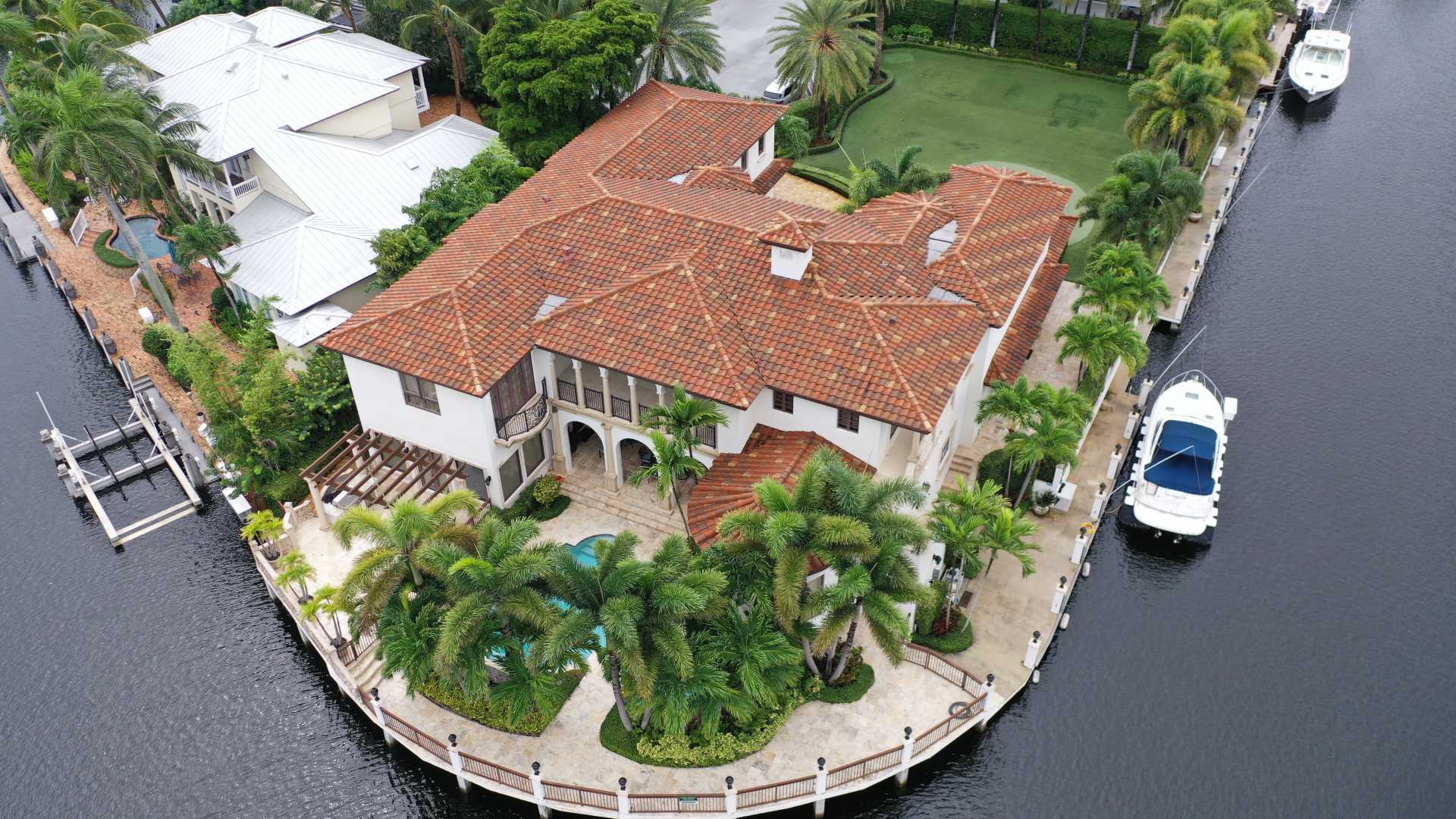
Residential Real Estate
Drone photography is yet to evolve into a common practice among residential real estate agents. Most home listings on the market do not include aerial imagery. Use our aerial photography services to gain an edge over your competitors and help your clients make informed investment decisions.
Marketing Imagery
We can help you enhance the marketability of your property with breathtaking drone shots and video footage of your location, features, and special events in stunning 4K HD clarity.
Inspection Services
Our high-definition aerial images are perfect for the inspection of a wide range of structures, ranging from rooftops and storage tanks to cell and radio towers, solar panels, and more. This helps you understand the current condition of a structure and make informed project decisions for the best results.

Mapping & Surveying
We offer professional drone photography for aerial mapping and all surveying purposes. Get real-time project updates, maps, geo-referenced orthomosaics, and accurate measurements using our aerial photographs. You can also convert images of land masses into 3D models or drawings for your project.
3D Modeling
We combine advanced software and data from multiple images to produce valuable 3D models of construction sites, commercial properties, and buildings. Our 3D modeling services allow you to visualize your property and facilitate an accurate calculation of volume and area.

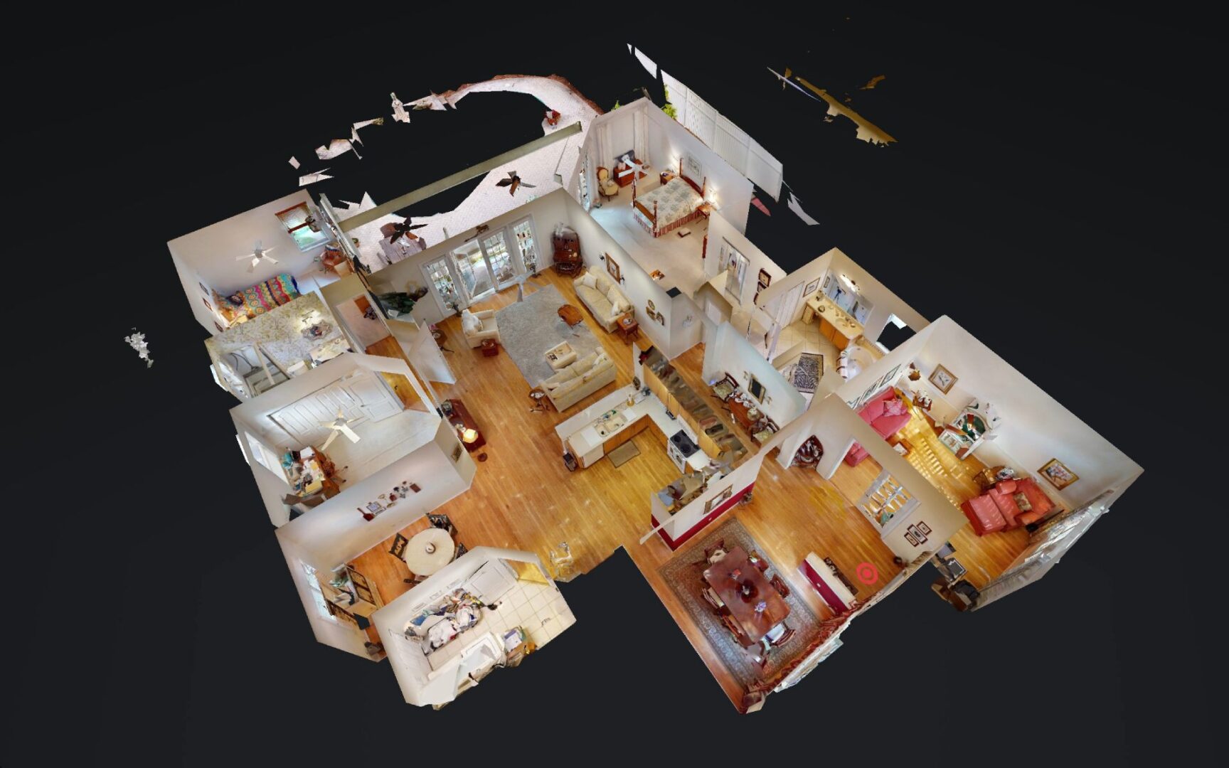
Virtual 3D Tours
Our high-resolution drone imagery can be used to create interactive 3D virtual tours of properties and places. This provides your clients with a comprehensive understanding of your location without actually visiting in person.